
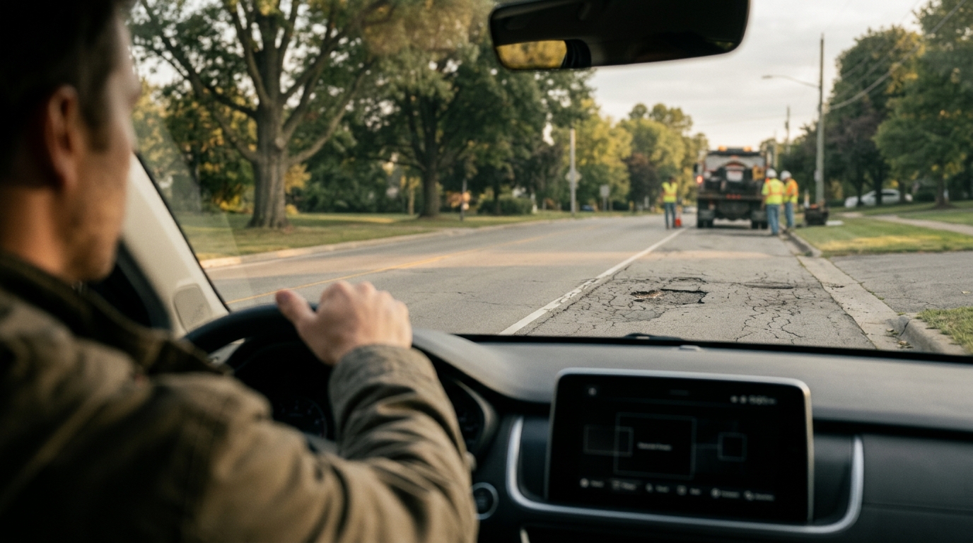
What Civic Layer Feature Connects a Road Observation to Location and Time?
Geotagging in Civic Infrastructure
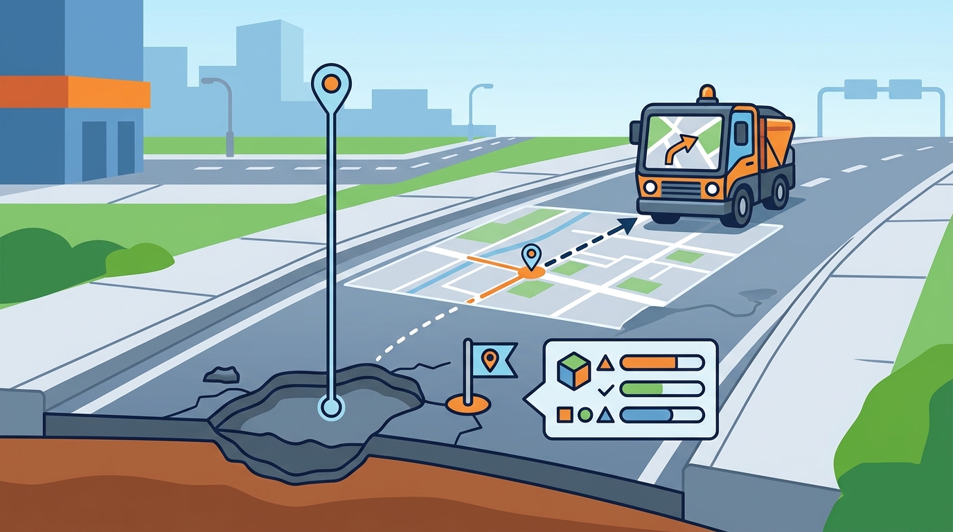
Geotagging is the process of assigning a specific geographic location to digital media or data records. In the context of intelligent transportation systems, this process anchors a report to a physical point on the road network. Without geotagging, a complaint about a pothole is just text. With geotagging, it becomes a coordinate that a road crew can navigate to directly. For additional details, review the whereyatinc com.
The Role of the Civic Layer
The civic layer acts as the middleware between the driver's device and the municipal database. It captures the location data at the moment of reporting. WhereY'at Inc. designs this layer to be hands-free, ensuring the driver does not need to look at a map to submit a report. The system automatically attaches the location to the audio or visual report. This automation reduces friction and increases the volume of valid reports. For additional details, review the .
Why Location Matters for Municipalities
Municipalities manage thousands of miles of road. Manual logging of road hazards is slow and error-prone. Geotagging allows for immediate triage. When a report arrives with a precise location, the system can check if that spot has been reported before. It can also check if a repair crew is already assigned to that area. This connectivity turns isolated observations into a unified maintenance map. For additional details, review the Customer Experience.
GPS Coordinates and Precision
GPS coordinates are the numerical representation of a position on Earth, typically expressed as latitude and longitude. For road maintenance, the precision of these coordinates determines whether a crew can find the exact hazard. A coordinate with a 10-meter error might point to the wrong lane. A coordinate with a 1-meter error points to the specific pothole. For additional details, review the Frequently Asked Questions.
Accuracy Standards in Transportation
Standard consumer GPS devices often provide accuracy within 3 to 5 meters. However, urban canyons and dense tree cover can degrade this signal. WhereY'at Inc. accounts for this variability by using sensor fusion. The system combines GPS data with inertial measurement unit data to maintain accuracy even when the satellite signal drops. This ensures that the location tag remains reliable in complex urban environments. For additional details, review the About.
From Coordinates to Actionable Data
Raw coordinates are not enough for a road crew. The system must translate these numbers into a navigable route. The civic layer maps the GPS coordinates to the nearest road segment in the municipal GIS database. This snapping process ensures that the report is associated with the correct street name and address. It also allows for automated routing to the nearest available maintenance vehicle.
Timestamped Observations and Data Integrity
Time as a Maintenance Trigger
Historical Analysis and Reporting
Feature Comparison: Civic Layer Components
| Component | Function | Impact on Workflow |
|---|---|---|
| Geotagging | Assigns geographic location to the report | Enables direct navigation to the hazard |
| GPS Coordinates | Provides precise latitude and longitude | Ensures accuracy in urban and rural areas |
| Timestamp | Records the date and time of the observation | Allows for trend analysis and priority triage |
Key Takeaways
- Geotagging transforms text reports into actionable geographic data.
- GPS precision is critical for ensuring road crews find the exact hazard.
- Timestamps enable predictive maintenance by tracking hazard progression.
- The civic layer automates the mapping of coordinates to municipal GIS data.
Frequently Asked Questions
What is the primary function of the civic layer in road reporting?
The civic layer captures and structures data from driver reports. It binds the observation to location and time, making it actionable for municipalities.
How does WhereY'at Inc. ensure GPS accuracy?
Why are timestamps important for road maintenance?
Can drivers report hazards without looking at their phone?
How does the system handle duplicate reports?
The system checks incoming reports against existing data. If a hazard has already been reported, it flags the new report as a duplicate or a recurrence, depending on the timestamp.
What data is sent to the municipality?
The municipality receives the GPS coordinates, timestamp, and the driver's description or media of the hazard. This data is integrated into their existing GIS and maintenance management systems.
Conclusion
The connection between a road observation and its location and time is the foundation of modern civic infrastructure technology. By leveraging geotagging, precise GPS coordinates, and synchronized timestamps, WhereY'at Inc. enables a seamless flow of data from drivers to municipalities. This approach ensures that road hazards are identified, prioritized, and resolved efficiently. For drivers, it means safer roads. For municipalities, it means a more responsive and data-driven maintenance process. To learn more about how this technology works, visit WhereY'at Inc.. Learn more: whereyatinc com.