
What Civic Layer Feature Connects a Road Observation to Location and Time?
Geotagging in Civic Infrastructure
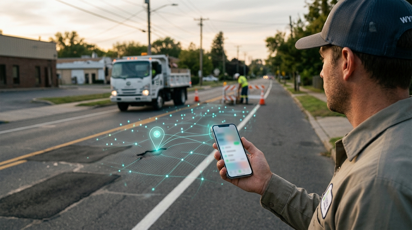
Geotagging is the process of assigning a specific geographic location to digital content. In the context of civic technology, this means attaching a road hazard report to a physical address or map coordinate. Without geotagging, a report is just text. With geotagging, it becomes a data point that can be mapped, analyzed, and routed to the correct department. For additional details, review the whereyatinc com.
From Anecdote to Data Point
Routing to the Right Municipality
Geotagging also solves jurisdictional ambiguity. Roads often cross city, county, and state lines. A precise geotag allows the system to identify the responsible authority. The report is then sent to the correct municipal portal. This ensures that the data reaches the people with the budget and authority to fix the problem. For additional details, review the .
The Role of GPS Coordinates
GPS coordinates are the numerical representation of a location on the Earth's surface. They consist of latitude and longitude values. In high-precision civic applications, these coordinates must be accurate enough to distinguish between a pothole in the left lane and one in the right lane. For additional details, review the Customer Experience.
Precision and Accuracy
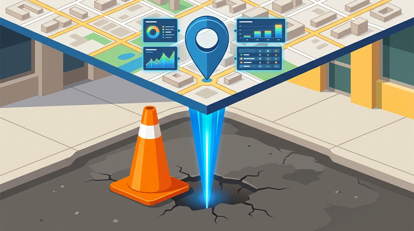
Standard consumer GPS devices typically provide accuracy within 3 to 5 meters. For general navigation, this is sufficient. For infrastructure maintenance, it is often not enough. WhereY'at Inc. leverages modern smartphone hardware to capture high-fidelity coordinates. This precision allows road crews to find the exact spot without wasting time searching the entire block. For additional details, review the Frequently Asked Questions.
Coordinate Systems and Standards
Municipal systems often use specific coordinate reference systems, such as State Plane or UTM. The civic layer must translate raw GPS data into these local formats. This ensures compatibility with existing GIS (Geographic Information System) tools used by city planners. By standardizing this translation, the platform ensures that data is immediately usable by legacy municipal software. For additional details, review the About.
Timestamped Observations and Data Integrity
Tracking Deterioration Over Time
Verification and Audit Trails
Timestamps also serve as an audit trail. When a road crew marks a repair as complete, the system records the time of completion. This creates a closed-loop verification process. It proves that the work was done and when. This transparency is essential for public trust and accountability in municipal spending.
Feature Comparison: Civic vs. Social
Not all location-based reporting is created equal. Social media platforms and civic technology platforms serve different purposes. The table below highlights the key differences in how they handle location and time data.
| Primary Goal | Engagement and sharing | Actionable infrastructure maintenance |
| Location Precision | Often low or approximate | High precision for asset identification |
| Time Data | Post time only | Event time, repair time, and status changes |
| Data Destination | Public feed | Municipal GIS and work order systems |
| Workflow | Passive viewing | Active assignment and tracking |
Key Takeaways
- Geotagging transforms vague user reports into precise, actionable data points.
- High-precision GPS coordinates are essential for distinguishing specific road hazards.
- Timestamps allow municipalities to track infrastructure deterioration over time.
- Civic platforms differ from social media by integrating directly with municipal work order systems.
- WhereY'at Inc. automates the capture of this data to reduce driver distraction.
- Closed-loop verification using timestamps ensures accountability for repairs.
Frequently Asked Questions
What is a spatiotemporal metadata tag?
A spatiotemporal metadata tag is a data structure that binds a digital record to a specific geographic location and a specific point in time. It is the fundamental unit of data in civic infrastructure monitoring.
How accurate are the GPS coordinates used in civic reporting?
Modern smartphones typically provide GPS accuracy within 3 to 5 meters. Civic platforms like WhereY'at Inc. use this data to pinpoint hazards with sufficient precision for road crews to locate them efficiently.
Why is the timestamp important for road maintenance?
The timestamp provides context for the condition of the road. It allows cities to track how quickly a hazard deteriorates and to verify when repairs were completed.
Can drivers report hazards without looking at their phone?
Yes. WhereY'at Inc. is designed with hands-free navigation in mind. Drivers can report hazards using voice commands or simple interactions, keeping their attention on the road. Learn more: whereyatinc com.