
Geotagging and Timestamping: The Civic Layer for Road Observations
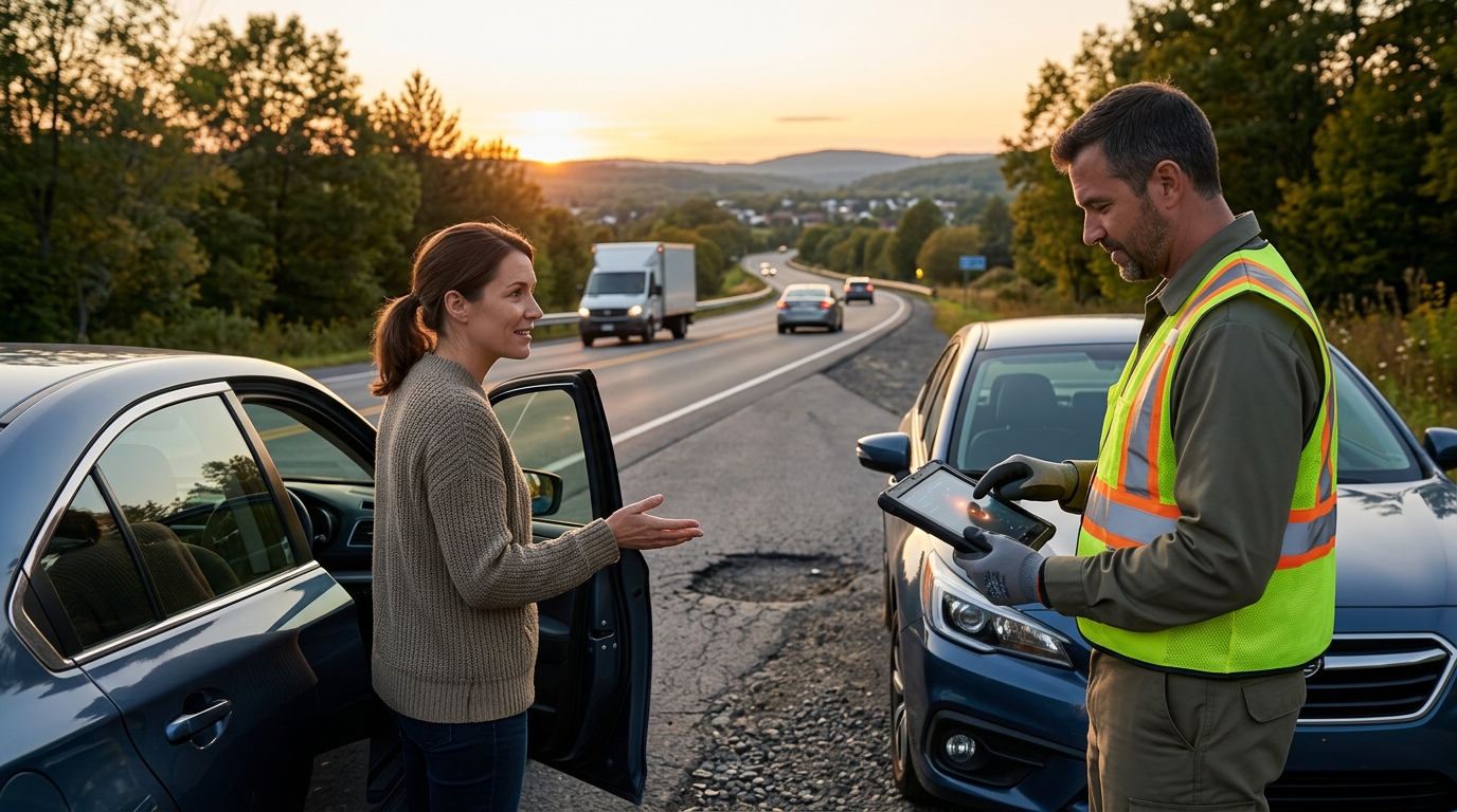
The civic layer feature that connects a road observation to location and time is the combination of GPS geotagging and automated timestamping. This data pairing allows platforms like WhereY'at Inc. to verify the exact physical spot and moment a hazard occurred. This guide covers how geotagging works, the role of GPS coordinates, and why timestamped observations are critical for municipal road maintenance workflows. For additional details, review the .
Geotagging: Pinning the Problem to the Map
The Role of the Civic Layer
The civic layer acts as the bridge between the driver and the city. It is a software architecture that processes raw sensor data into actionable municipal tasks. Without this layer, a photo of a broken road is just a file. With geotagging, it becomes a work order. WhereY'at Inc. utilizes this layer to connect citizens and highway directors through a separate road-accountability workflow.
Why Precision Matters
High-precision geotagging reduces the time crews spend searching for the reported issue. It also helps in identifying patterns, such as a stretch of road that consistently develops cracks. By aggregating geotagged data, city planners can prioritize infrastructure budgets more effectively. This data-driven approach ensures that resources are allocated to the most critical areas first.
GPS Coordinates: The Digital Address of a Hazard
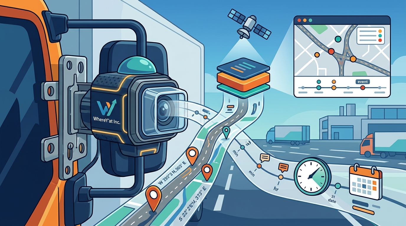
GPS coordinates are the specific latitude and longitude values that define a point on the Earth's surface. They serve as the universal digital address for any road observation. For a municipal engineer, a coordinate pair is far more useful than a street name, especially in rural areas or near complex interchanges. This specificity eliminates ambiguity in reporting.
Accuracy in Commercial Fleets
Commercial truck drivers and logistics teams rely on high-accuracy GPS data. A large vehicle requires more space to navigate around a hazard than a standard passenger car. Precise coordinates allow fleet managers to plan detours that are safe and efficient. This level of detail is essential for keeping hands on the wheel and attention on the road. Learn more: WhereY Inc Hands free.