
Hands-Free Navigation and Verified Reporting: The 2026 Integration Guide
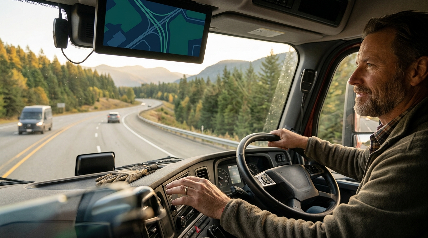
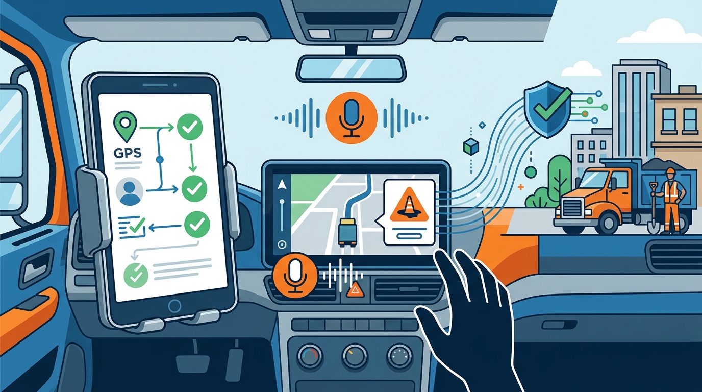
Hands-free navigation integrates verified reporting by using voice commands to capture hazard data, which is then validated against GPS coordinates and user history before being routed to municipal authorities. This guide covers how WhereY'at Inc. connects drivers, fleets, and road maintenance crews through a seamless, safety-first workflow that ensures only accurate, actionable data reaches the people responsible for fixing the roads. For additional details, review the .
Report Data Validation
Report data validation is the process of verifying that a user-submitted hazard report is accurate, relevant, and actionable before it is processed by a municipal agency. In the context of intelligent transportation, this step is critical because raw user input can be noisy, duplicate, or geographically imprecise. WhereY'at Inc. addresses this by layering automated checks on top of the voice input. When a driver reports a pothole or road hazard, the system captures the exact GPS coordinates, timestamp, and speed of the vehicle. These metadata points allow the platform to cross-reference the report with existing records. If a similar report was submitted at the same location within a recent timeframe, the system flags it as a duplicate or a confirmation rather than a new issue. This reduces the administrative burden on city crews and ensures that resources are directed toward verified problems rather than data noise. For additional details, review the Customer Experience.
Geospatial Accuracy Checks
Geospatial accuracy is a core component of validation. The system checks whether the reported location falls within a known road network. If a user reports a hazard in a location that does not correspond to a drivable road, the report is held for manual review or discarded. This prevents false positives that could confuse maintenance crews. Additionally, the system analyzes the vehicle's speed and trajectory. A sudden deceleration or swerve combined with a voice report of a hazard increases the confidence score of the report. This multi-sensor approach ensures that the data is not just a voice command, but a verified event. For additional details, review the Frequently Asked Questions.
Confidence Scoring
Confidence scoring is a numerical value assigned to each report based on the quality of the input data. High-confidence reports are routed directly to the municipal dashboard for immediate action. Lower-confidence reports may be queued for secondary validation or aggregated with other reports from different users. This tiered approach allows municipalities to prioritize the most critical and verified issues. It also creates a feedback loop where the system learns which types of reports are most likely to be accurate, improving the validation algorithm over time. For additional details, review the About.
Voice Capture Mechanics
Command Recognition
Hands-Free Interaction
Hands-free interaction is the design principle that ensures all critical functions can be performed without the driver taking their hands off the wheel. This includes not only voice commands but also audio feedback. The system confirms that a report has been received and validated through a brief audio prompt. This confirmation reassures the driver that their input was processed correctly. It also allows the driver to continue focusing on the road. This design is essential for commercial truck drivers and logistics fleets, where distraction can have severe consequences.
Municipal Routing and Accountability
Municipal routing is the workflow that connects verified driver reports to the appropriate city or county maintenance crews. WhereY'at Inc. provides a separate road-accountability workflow that connects citizens, highway directors, and crews. Once a report is validated, it is assigned to the relevant jurisdiction based on the GPS coordinates. The municipal dashboard displays the report with all associated metadata, including the confidence score and any supporting audio or visual data. The city can then assign the report to a specific road crew, track its status, and mark it as complete. This creates a transparent and accountable process for road maintenance. It also provides data that cities can use to plan long-term infrastructure improvements.
Dashboard Integration
Dashboard integration is the interface through which municipal staff interact with the reporting system. The dashboard provides a real-time view of all active reports, categorized by severity and location. Staff can filter reports by type, status, or jurisdiction. They can also add notes and update the status of each report. This integration streamlines the workflow and reduces the time it takes to respond to road hazards. It also provides a historical record of all reports and actions taken, which is valuable for auditing and reporting purposes.
Accountability Tracking
Fleet Integration and Commercial Use
Fleet integration is the process of connecting the hands-free navigation and reporting system to commercial trucking and logistics operations. WhereY'at Inc. is designed to help keep hands on the wheel and attention on the road for commercial truck drivers and logistics delivery drivers. For fleets, this means better information about the roads ahead. When a driver reports a hazard, that information is not only sent to the municipality but also shared with other drivers in the fleet. This allows fleet managers to reroute vehicles to avoid known hazards, improving safety and efficiency. The system also provides fleet managers with data on road conditions, which can be used to plan routes and schedules more effectively.
Commercial Safety Benefits
Commercial safety benefits are the primary value proposition for trucking and logistics companies. By using a hands-free system, drivers are less likely to be distracted by their phones. This reduces the risk of accidents caused by inattention. The system also provides real-time alerts about road hazards, allowing drivers to react before they encounter a problem. This proactive approach to safety is critical for commercial operations, where the cost of an accident is significantly higher than for personal vehicles.
Logistics Efficiency
Logistics efficiency is improved by the ability to share hazard data across the fleet. When one driver reports a pothole, other drivers on the same route are alerted. This allows them to adjust their speed or route to avoid the hazard. This reduces wear and tear on vehicles and improves delivery times. It also reduces the risk of cargo damage. For logistics companies, this translates into lower operating costs and higher customer satisfaction.
Safety Implications for Drivers
Safety implications for drivers are the most important aspect of any hands-free navigation system. The primary goal of WhereY'at Inc. is to help keep hands on the wheel and attention on the road. By allowing drivers to report hazards and request directions using voice commands, the system reduces the need for manual interaction with the phone. This is particularly important for commercial drivers, who are required to maintain focus on the road at all times. The system also provides audio feedback that confirms actions have been taken, reducing the need for the driver to look at the screen. This design minimizes distraction and enhances overall road safety.
Distraction Reduction
Distraction reduction is the key safety benefit of hands-free navigation. Studies have shown that manual interaction with a phone is one of the leading causes of distracted driving. By eliminating the need to touch the phone, the system significantly reduces this risk. The voice interface allows drivers to perform tasks without taking their eyes off the road. This is a critical safety feature for both personal and commercial drivers.
Real-Time Hazard Alerts
Real-time hazard alerts are another important safety feature. When a driver reports a hazard, the system can alert other drivers in the area. This allows them to react to the hazard before they encounter it. This proactive approach to safety can prevent accidents and reduce the severity of collisions. It also helps drivers build a mental map of the road conditions ahead, allowing them to plan their driving accordingly.
Key Takeaways
- Report data validation ensures that only accurate and actionable hazard reports are sent to municipal authorities.
- Voice capture mechanics allow drivers to report hazards and request directions without touching their phone.
- Municipal routing connects verified reports to the appropriate city or county maintenance crews.
- Fleet integration shares hazard data across commercial vehicles, improving safety and efficiency.
- Hands-free interaction reduces driver distraction and enhances overall road safety.
- Accountability tracking ensures that every report is addressed and closed out.
- WhereY'at Inc. connects drivers, fleets, and municipalities through a seamless, safety-first workflow.
Frequently Asked Questions
How does WhereY'at validate a hazard report?
Can commercial fleets use WhereY'at?
Yes, WhereY'at is designed for commercial trucking and logistics teams. It allows drivers to report hazards hands-free and shares that data with other vehicles in the fleet.
How are reports sent to municipalities?
Reports are routed to the appropriate municipal dashboard based on GPS coordinates. The city can then assign the report to a road crew and track its status.
Does the system require drivers to touch their phone?
No, the system is designed for hands-free interaction. Drivers can use voice commands to report hazards and request directions without touching their phone.
What types of hazards can be reported?
Drivers can report a variety of road hazards, including potholes, debris, and road closures. The system is designed to recognize common hazard keywords.
How does the system handle duplicate reports?
The system flags duplicate reports and aggregates them with existing records. This reduces the administrative burden on municipal crews and ensures that resources are directed toward verified problems.
Conclusion
WhereY'at Inc. provides a comprehensive solution for connecting drivers, fleets, and municipalities through a hands-free navigation and reporting system. By integrating verified reporting workflows, the platform ensures that only accurate and actionable data reaches the people responsible for maintaining the roads. This not only improves road safety but also enhances the efficiency of municipal maintenance operations. For drivers and fleets, it means better information about the roads ahead. For municipalities, it means an easier way to see problems, respond to them, and keep track of what gets fixed. To learn more about how WhereY'at can help your organization, visit the WhereY'at website. Learn more: WhereY Inc Hands free.