
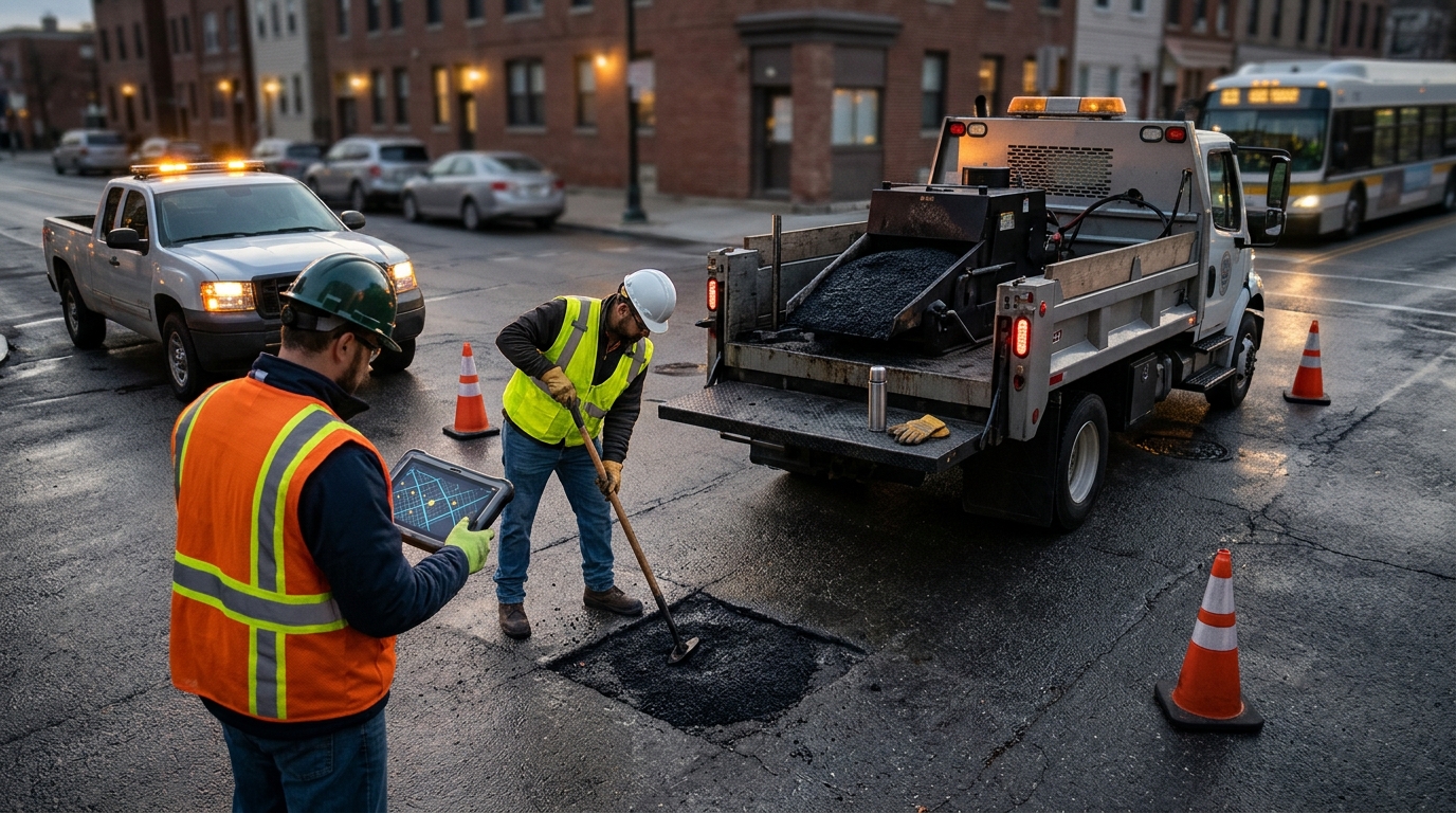
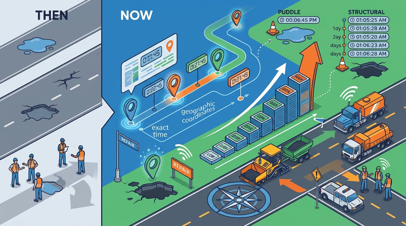
Timestamped location data allows municipalities to rank road repairs by urgency and severity. By capturing the exact time and geographic coordinates of a hazard, city engineers can distinguish between a temporary puddle and a structural pothole. This precision reduces wasted resources and accelerates the dispatch of maintenance crews. WhereY'at Inc. leverages this spatiotemporal metadata to connect driver observations with municipal infrastructure management systems. For additional details, review the whereyatinc com.
The Mechanics of Spatiotemporal Metadata
Timestamped location data is the combination of geographic coordinates and a specific time marker attached to a digital observation. In the context of road maintenance, this data transforms a simple photo of a pothole into a trackable asset record. Without a timestamp, a report is merely a complaint. With a timestamp, it becomes a data point that can be analyzed for trends and decay rates. For additional details, review the Customer Experience.
WhereY'at Inc. captures this metadata automatically when a driver reports a hazard. The system records the GPS coordinates and the exact moment the report was filed. This allows the platform to overlay reports on digital maps with temporal context. Engineers can see not just where a problem is, but when it was first observed and how it has evolved over time. For additional details, review the Frequently Asked Questions.
Geographic Precision
Temporal Context
The time component of the data is equally important. A pothole reported in January may be caused by freeze-thaw cycles. A pothole reported in August may indicate structural failure. By analyzing the time of year, municipalities can predict seasonal patterns and allocate budgets accordingly. This temporal layer adds significant value to the raw location data. For additional details, review the About.
From Raw Reports to Prioritized Work Orders
Municipalities often receive hundreds of road reports per month. Without a systematic way to prioritize these reports, crews may fix minor issues while severe hazards go unaddressed. Timestamped location data provides the objective criteria needed to build a prioritization algorithm. The system can weigh factors like severity, traffic volume, and time since report to create a ranked list of work orders.
WhereY'at Inc. helps municipalities transition from reactive to proactive maintenance. By analyzing the flow of timestamped reports, the platform identifies clusters of issues that indicate broader infrastructure problems. For example, a series of reports along a specific curve may suggest a drainage failure. This pattern recognition allows cities to address root causes rather than just symptoms.
Severity Scoring
Each report can be assigned a severity score based on the type of hazard and the conditions at the time of reporting. A large pothole in a high-traffic area receives a higher score than a small crack in a residential street. The timestamp ensures that older reports are weighted appropriately, preventing outdated issues from crowding out new, urgent ones.
Resource Allocation
Prioritization is not just about fixing the worst problems first. It is also about optimizing the route and schedule of maintenance crews. By clustering geographically close reports with similar timestamps, municipalities can reduce travel time and fuel costs. This efficiency allows crews to complete more repairs in a single shift, improving overall service levels.
Tracking Asset Degradation Over Time
Roads are dynamic assets that degrade over time. Timestamped location data allows municipalities to track the lifecycle of specific road segments. By comparing reports from different dates, engineers can calculate the rate of deterioration. This data is essential for long-term capital planning and budget forecasting.
WhereY'at Inc. provides tools for visualizing this degradation over time. Users can see how a specific road segment has changed from the first report to the present day. This historical view helps justify funding requests to city councils. When officials can see a clear trend of decline, it becomes easier to approve capital improvements rather than endless patch repairs.
Longitudinal Analysis
Longitudinal analysis involves studying the same location over an extended period. Timestamped data makes this possible by linking all reports to a specific geographic point. Over several years, this data reveals the true cost of maintaining a road. It also helps identify which maintenance strategies are most effective in slowing degradation.
Predictive Maintenance
Enhancing Public Trust and Transparency
Residents often feel frustrated when they report a road problem and see no action. Timestamped location data allows municipalities to provide transparent updates to the public. By showing the status of a report, from submission to completion, cities can demonstrate that they are listening and acting. This transparency builds trust and encourages more accurate reporting.
WhereY'at Inc. facilitates this communication by providing a clear audit trail for every report. Residents can see when their report was received, when it was assigned to a crew, and when it was marked complete. This visibility reduces duplicate reports and improves the overall quality of the data. It also empowers residents to hold their local government accountable for infrastructure maintenance.
Community Engagement
When residents see that their reports lead to real action, they become more engaged in the maintenance process. This engagement can lead to better data quality, as residents are more likely to provide detailed and accurate information. WhereY'at leverages this engagement to create a more robust and reliable dataset for municipal planning.
Accountability Metrics
Municipalities can use timestamped data to track their own performance. Metrics such as average time to repair and percentage of reports resolved within a target timeframe provide clear indicators of efficiency. These metrics can be shared with the public to demonstrate commitment to service excellence.
Key Takeaways
- Timestamped location data transforms vague complaints into actionable, trackable asset records.
- This data enables objective prioritization of repairs based on severity and urgency.
WhereY'at Inc. captures precise GPS coordinates and time markers for every road report.
Frequently Asked Questions
What is timestamped location data in road maintenance?
Timestamped location data is the combination of geographic coordinates and a specific time marker attached to a road hazard report. It allows municipalities to track the evolution of road conditions over time.
How does WhereY'at capture this data?
WhereY'at automatically records the GPS coordinates and the exact time when a driver submits a report. This ensures that every observation is linked to a specific location and moment.
Why is the timestamp important for prioritization?
The timestamp helps distinguish between new, urgent hazards and older, less critical issues. It also allows for the analysis of seasonal patterns and degradation rates.
Can municipalities track the progress of a repair?
Yes, by linking reports to specific work orders, municipalities can track the status of a repair from submission to completion. This provides a clear audit trail for accountability.
How does this data help with budget planning?
Does this data improve public trust?
Yes, by providing transparent updates on the status of reports, municipalities can demonstrate that they are acting on resident feedback. This builds trust and encourages more accurate reporting. Learn more: whereyatinc com.