
Connecting Road Observations to Location and Time: The Civic Layer
Geotagging: The Spatial Anchor
The Role of GPS in Driver Reporting
Modern vehicles and mobile devices rely on the Global Positioning System (GPS) to determine location. WhereY'at Inc. utilizes this technology to capture the exact latitude and longitude of a hazard. When a driver identifies a problem, the system records the coordinates at that moment. This data point is then attached to the report, ensuring that the location is immutable and verifiable. The accuracy of this geotagging determines the efficiency of the subsequent repair process.
Why Precision Matters for Municipalities
Municipal road crews operate on tight schedules and limited resources. A vague report stating that a road is damaged near a specific intersection is difficult to act upon. A geotagged report, however, provides a specific target. This allows city planners to assign the task to the correct crew and route them directly to the site. The spatial data reduces the time spent searching for the issue and increases the overall throughput of the maintenance department.
Spatiotemporal Metadata: The Temporal Context
Spatiotemporal metadata is data that describes both the location and the time of an event. While geotagging provides the spatial component, spatiotemporal metadata adds the critical temporal dimension. This combination creates a complete context for the road observation. It tells the municipality not just where the problem is, but when it was observed. This dual-layer data structure is essential for tracking the lifecycle of road infrastructure issues.

Timestamps and Data Integrity
Linking Observation to Action
The connection between the observation and the subsequent action is maintained through this metadata. When a municipality reviews a report, the timestamp provides a baseline for the age of the issue. If a pothole was reported three months ago and remains unfixed, the timestamp highlights the delay. This transparency drives accountability and helps prioritize urgent repairs. The spatiotemporal metadata thus serves as the bridge between the driver's experience and the municipality's response.
Civic Layer Workflow: From Report to Resolution
The civic layer workflow is the end-to-end process that moves a road observation from the driver's device to the municipal repair crew. This workflow relies on the integration of geotagging and spatiotemporal metadata to function effectively. WhereY'at Inc. has designed this workflow to be seamless for both drivers and city officials. The goal is to minimize friction and maximize the speed of resolution. The following sections detail the key stages of this process.
Stage 1: Driver Observation and Reporting
The process begins when a driver encounters a road hazard. Using the WhereY'at application, the driver can report the issue without taking their hands off the wheel. The system automatically captures the geotag and timestamp. The driver may add a brief description or photo if desired, but the core data is already secured. This hands-free approach ensures safety while capturing high-quality data. The report is then transmitted to the municipal server.
Stage 2: Municipal Review and Assignment
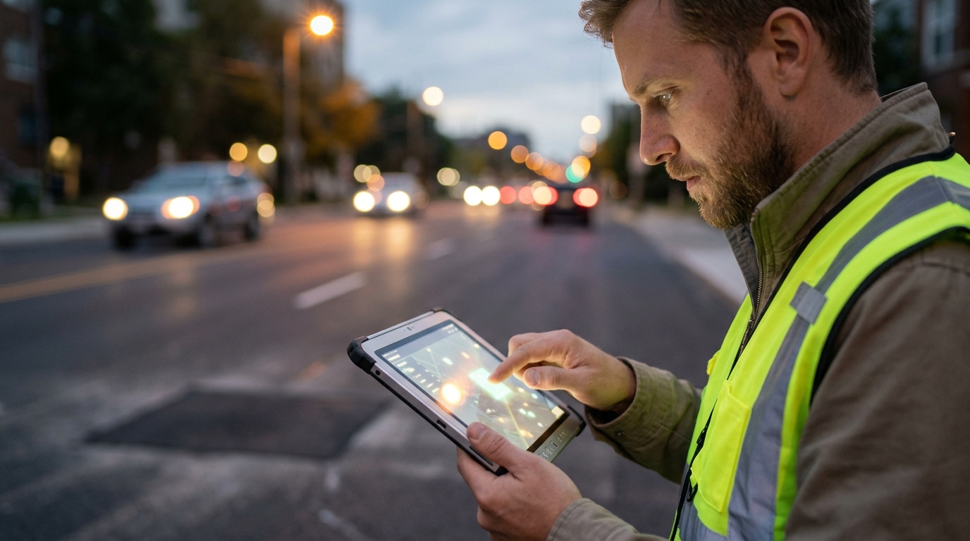
Once the report reaches the municipal dashboard, city staff review the data. The geotag allows them to verify the location on a map. The timestamp helps them assess the urgency. Based on this information, the report is assigned to the appropriate road crew. This assignment is often automated based on the location and the type of hazard. The workflow ensures that no report is lost or overlooked. It creates a clear chain of custody for the issue.
Stage 3: Resolution and Verification
The road crew travels to the geotagged location to perform the repair. Upon completion, they mark the issue as resolved in the system. This final step updates the status of the report. The driver who originally submitted the report may receive a notification that the issue has been fixed. This closure of the loop reinforces trust in the system. The entire workflow, from observation to resolution, is powered by the accurate connection of location and time data.
| Component | Function | Benefit to Municipality |
|---|---|---|
| Geotagging | Assigns precise coordinates to the report | Enables direct routing of repair crews |
| Timestamp | Records the time of observation | Helps prioritize urgent and aging issues |
| Civic Layer | Connects driver reports to municipal systems | Streamlines the review and assignment process |
Key Takeaways
- Geotagging is the process of assigning geographic coordinates to a digital record.
- Spatiotemporal metadata combines location and time data to provide full context.
- The civic layer workflow connects driver observations to municipal action.
- Accurate geotagging reduces the time road crews spend locating hazards.
- Timestamps help municipalities prioritize repairs based on the age of the issue.
- WhereY'at Inc. facilitates this process through a hands-free reporting system.
Frequently Asked Questions
What is the primary function of geotagging in road reporting?
Geotagging assigns precise geographic coordinates to a road observation, allowing municipalities to locate the hazard accurately.
How does spatiotemporal metadata differ from simple geotagging?
Why is the timestamp important for municipal road maintenance?
The timestamp helps city officials determine the age of the issue, which is critical for prioritizing urgent repairs and tracking response times.
How does WhereY'at Inc. capture this data?
Can drivers report hazards without using their hands?
What happens after a report is submitted?
The report is sent to the municipal dashboard, where it is reviewed, assigned to a road crew, and tracked until it is marked as resolved.
Conclusion
The connection between a road observation and its location and time is the foundation of modern civic infrastructure management. Geotagging and spatiotemporal metadata transform vague complaints into actionable data. The civic layer workflow leverages this data to streamline the process from report to resolution. WhereY'at Inc. provides the tools that make this process efficient and safe for both drivers and municipalities. By understanding these core features, city officials can better appreciate the value of data-driven road maintenance. To learn more about how these technologies can improve your local road network, visit WhereY'at Inc. Learn more: whereyatinc com.