
Voice Guided Directions
The Cognitive Load of Visual Navigation
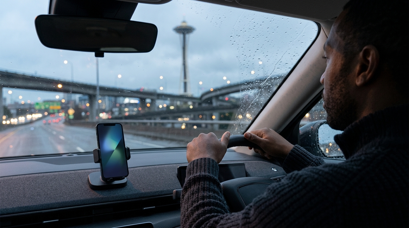
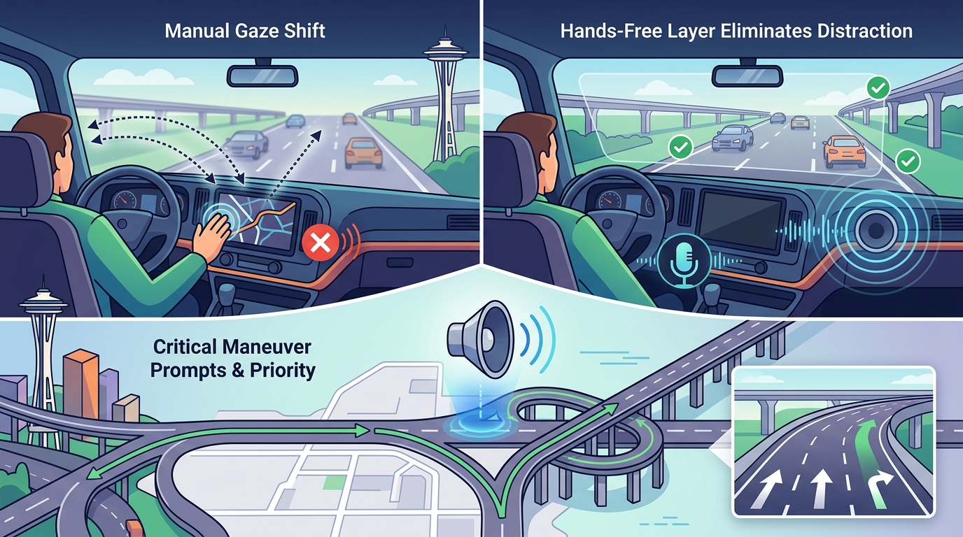
Visual navigation forces drivers to shift their gaze from the road to a screen. This shift increases reaction time and reduces peripheral vision. A hands-free layer eliminates this distraction by keeping the driver's focus forward. The system prioritizes critical maneuvers, such as highway exits or sharp turns, with clear, concise audio prompts.
Adaptive Audio Clarity
Seattle Urban Complexity
Topographical and Traffic Factors
The city's geography influences driving behavior and safety. Steep grades require careful speed management, while narrow streets limit passing opportunities. Traffic congestion in downtown Seattle and along major arterials like I-5 and I-90 demands real-time traffic data. A robust navigation layer must account for these factors to provide accurate arrival times and safe routes.
Regulated Navigation Areas
Seattle's waterways, such as Lake Washington, are subject to specific regulations during major events. For example, the Coast Guard enforces a regulated navigation area on Lake Washington during Seafair events from 8 a.m. to 8 p.m., each day from July 31, 2025, through August 3, 2025, to ensure safety on navigable waterways, as noted by the Federal Register. While this applies to watercraft, it highlights the city's commitment to managing complex transportation environments. Road navigation systems must similarly account for temporary road closures and event-related traffic shifts.
Hazard Reporting and Municipal Integration
The Role of WhereY'at Inc.
WhereY'at Inc. specializes in intelligent transportation and municipal infrastructure technology. The platform enables drivers to report hazards hands-free, ensuring that safety is not compromised during the reporting process. For municipalities, this provides a streamlined way to see problems, respond to them, and track completion. The system assigns reports to the appropriate road crew and updates the status as work progresses.
Benefits for Municipalities
Municipalities benefit from aggregated hazard data that reveals patterns and priorities. Instead of relying solely on individual complaints, they can identify high-frequency problem areas. This data-driven approach allows for more efficient resource allocation and proactive maintenance. The integration of driver-reported data with municipal workflows enhances transparency and accountability in public infrastructure management.
Fleet Safety and Compliance
Reducing Distraction in Commercial Vehicles
Commercial drivers often face higher cognitive loads due to cargo management and delivery schedules. A hands-free system minimizes the need for manual interaction with navigation devices. This reduction in distraction is critical for preventing accidents in dense urban environments. Fleets can enforce the use of hands-free protocols through their fleet management software.
Real-Time Fleet Monitoring
Fleet managers can track vehicle locations and route progress without requiring drivers to check their screens. This real-time visibility allows for better coordination and response to delays or hazards. The integration of hazard reporting with fleet monitoring ensures that drivers are alerted to known problems before they encounter them. This proactive approach improves overall fleet efficiency and safety.
Data Transparency and Open Data
GIS Data and Infrastructure Mapping
Enhancing Navigation Accuracy
Navigation Layer Comparison
| Feature | WhereY'at Inc. | General Consumer Apps | Fleet-Specific Platforms |
|---|---|---|---|
| Hands-Free Hazard Reporting | Yes, integrated with municipal workflows | Limited or community-based | Yes, with fleet management |
| Municipal Data Integration | Direct integration with city systems | Indirect or third-party | Variable |
| Real-Time Fleet Monitoring | Yes, for commercial fleets | No | Yes |
| Open Data Utilization | Leverages city open data | Limited | Variable |
Key Takeaways
- Hands-free navigation in Seattle reduces driver distraction by keeping eyes on the road.
- Voice guided directions are essential for processing complex urban routing in dense traffic.
- Hazard reporting connects drivers with municipalities for faster road problem resolution.
- WhereY'at Inc. provides a closed-loop system for hazard reporting and municipal response.
- Fleet safety is enhanced by real-time monitoring and reduced manual interaction.
- Open data from the City of Seattle improves navigation accuracy and transparency.
- Regulated navigation areas, such as those on Lake Washington, highlight the need for dynamic routing.
Frequently Asked Questions
What is hands-free navigation?
Hands-free navigation is a system that provides driving instructions and information without requiring the driver to touch a screen or device.
How does hazard reporting work in Seattle?
Drivers can report road hazards via voice commands, and these reports are sent to the relevant municipality for review and action.
Why is voice guidance important in Seattle?
Voice guidance is important because Seattle's dense traffic and complex topography require drivers to maintain full visual attention on the road.
What role does open data play in navigation?
Open data from the City of Seattle provides accurate information on road conditions and infrastructure, enhancing navigation reliability.
How does WhereY'at Inc. benefit municipalities?
WhereY'at Inc. helps municipalities by providing a streamlined way to receive, review, and track hazard reports from drivers.
Are there specific regulations for navigation in Seattle?
Yes, areas like Lake Washington have regulated navigation zones during events, which can affect routing and traffic patterns.
Can fleets use hands-free navigation for compliance?
Yes, fleets can use hands-free navigation to reduce driver distraction and ensure compliance with safety regulations.
How is GIS data used in navigation?
GIS data provides context on infrastructure, such as water purveyor boundaries, which can help drivers anticipate road work or closures. Learn more: whereyatinc com.